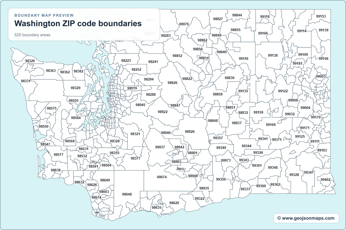
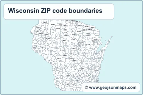
Washington ZIP code boundaries Data Sample
Below is a sample of some of the fields included in this GIS file. These columns can be visualized in QGIS, Power BI, Leaflet, and other mapping or analytics tools supporting GeoJSON.
| Field Name | Sample Data |
|---|---|
| fid | 1442, 1443, 1444 |
| ZIP | 98077, 98272, 98290 |
| STATE | WA, WA, WA |
| ZIP4 | 9807, 9827, 9829 |
| ZIP2 | 98, 98, 98 |
| ZIP3 | 980, 982, 982 |
| PO_NAME | Woodinville, Monroe, Snohomish |
| area_km | 48.3, 278.2, 281.7 |
| CARTO_REGION | State, State, State |
Dataset information
About the Washington ZIP code boundaries GeoJSON file
- Map ID: usa_zip_boundaries_wa
- Collection: USA ZIP code boundaries
- Region: Washington
- Boundary areas: 525
- Attribute fields: 9
- Preview generated: 9 August 2026
This postal boundary dataset contains 525 boundary areas and 9 data fields from the USA ZIP code boundaries collection for Washington.
£125.00
Note on Compatibility
We strive to provide universally compatible GeoJSON files, but sometimes a mapping application may require a specific coordinate reference system (projection) or particular data fields. If your file doesn't load or display as expected, please get in touch. We can reproject the file, add additional data columns to the polygons, or even develop a custom mapping tool—whether simple or complex—to ensure your data visualizes correctly. We won't rest until everything works just the way you need!
Continue exploring
Explore related GIS boundary files
Compare more maps in the Postal boundaries category.